
File:UK Ordnance Survey map, detail of Sandleford, from sheet 113, published Southampton, 1939.jpg
Size of this preview: 800 × 451 pixels. Other resolutions: 320 × 180 pixels | 640 × 360 pixels | 1,024 × 577 pixels | 1,280 × 721 pixels | 2,560 × 1,442 pixels | 5,464 × 3,077 pixels.
Original file (5,464 × 3,077 pixels, file size: 2.31 MB, MIME type: image/jpeg)
| This is a file from the Wikimedia Commons. Information from its description page there is shown below. Commons is a freely licensed media file repository. You can help. |
Summary
| Description |
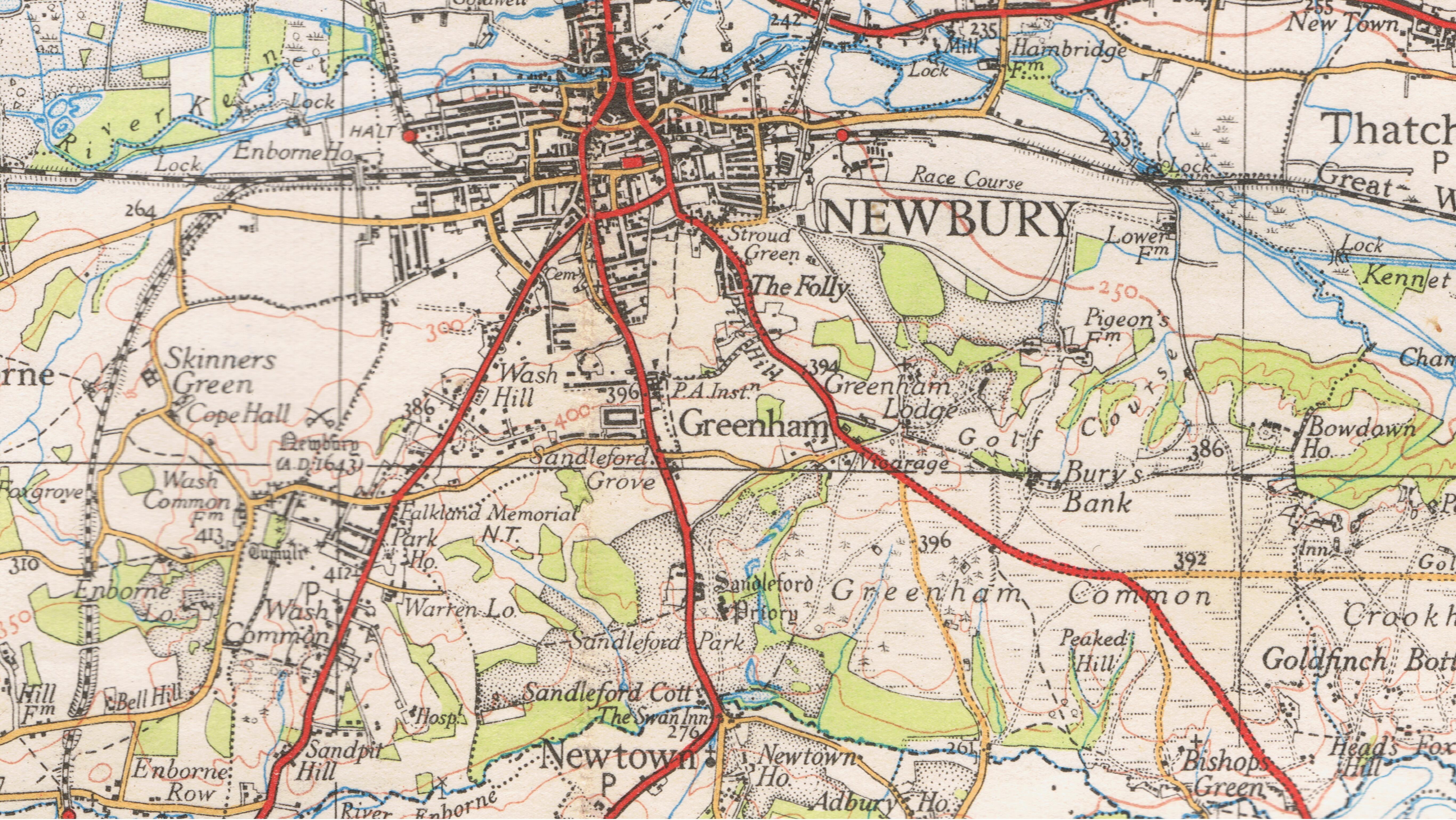
English: UK Ordnance Survey map, detail of Sandleford, from sheet 113, published Southampton, 1939.
|
| Date | |
| Source |
Original publication: UK |
| Author |
Ordnance Survey |
| Permission (Reusing this file) |
Ordnance survey maps over 50 years since publish date are out of copyright. |
Licensing
This work created by the United Kingdom Government is in the public domain.
This is because it is one of the following:
HMSO has declared that the expiry of Crown Copyrights applies worldwide (ref: HMSO Email Reply)
|
 |
Original upload log
The original description page was here. All following user names refer to en.wikipedia.
| Date/Time | Dimensions | User | Comment |
|---|---|---|---|
| 2016-02-02 00:13 | 5464×3077× (2421987 bytes) | Rodolph | Uploading an old public-domain work using [[Wikipedia:File_Upload_Wizard|File Upload Wizard]] |
File history
Click on a date/time to view the file as it appeared at that time.
| Date/Time | Thumbnail | Dimensions | User | Comment | |
|---|---|---|---|---|---|
| current | 05:42, 17 March 2016 | | 5,464 × 3,077 (2.31 MB) | FastilyClone | Transferred from enwp |
File usage
The following pages on the English Wikipedia use this file (pages on other projects are not listed):